Northern Mazovia · Warmia and Mazury
Technical drone services for businesses and projects
We provide inspections, mapping and technical documentation for businesses, projects, energy and landowners in northern Mazovia, Warmia and Mazury. Field applications complement the technical scope, and we also deliver projects elsewhere in Poland.
Regional scope
Full technical capabilities across a wider region.
We regularly work in northern Mazovia, Warmia and Mazury, including Działdowo, Lidzbark, Mława, Nidzica, Iława, Ostróda and Żuromin. This is not an exclusive operating area: projects are also delivered elsewhere in Poland. Scope may cover mapping, photogrammetry, project monitoring, technical inspections, thermography and 3D models, depending on objectives and conditions.
- businesses and investors
- infrastructure, telecom and renewable-energy operators
- asset and land managers
- farms and field teams
Technical services
Technical services for assets, projects and land.
The regional offer has the same NeoScout technical scope as projects elsewhere in Poland. Specialist pages describe each method in detail.
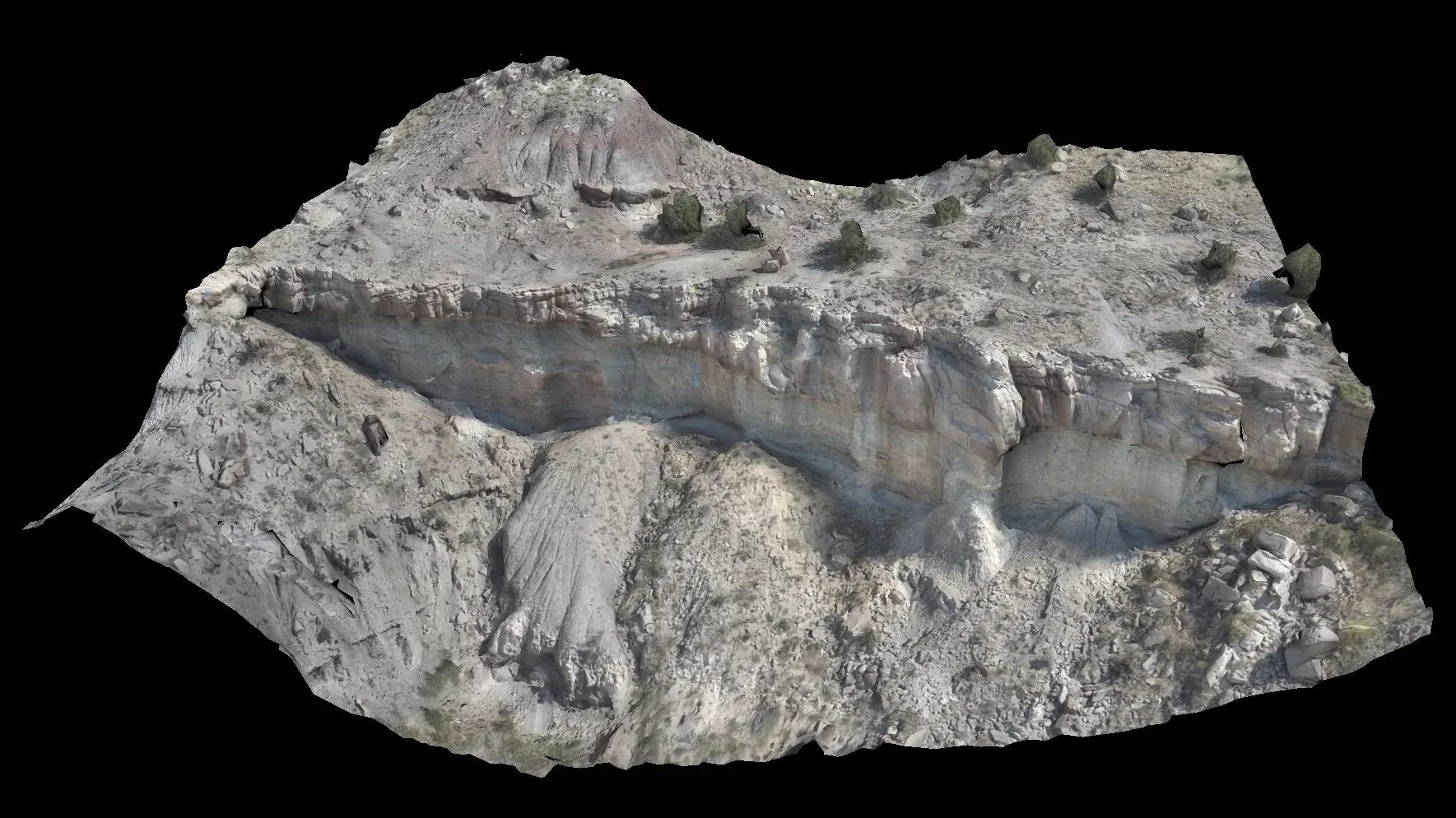
Photogrammetry and mapping
Orthomosaics, terrain models and spatial data for the agreed use.
Explore scope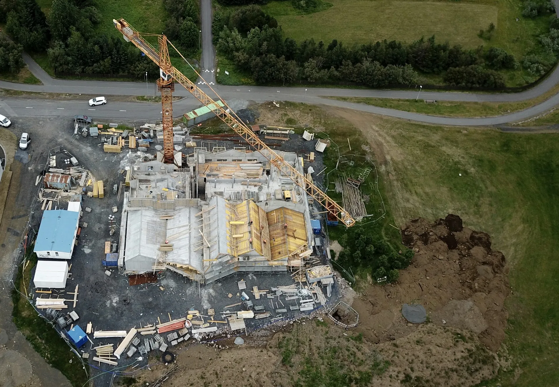
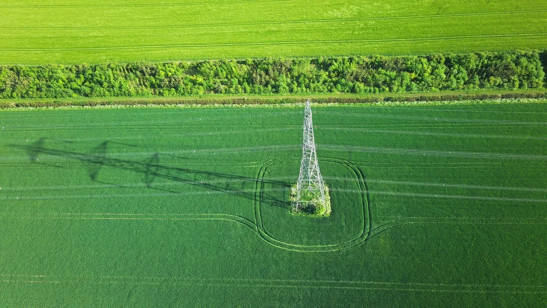
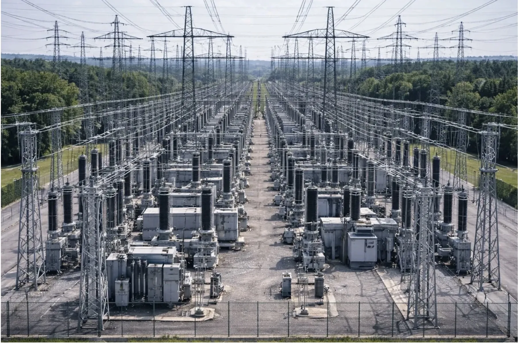
Technical infrastructure
Technical documentation of energy infrastructure and hard-to-access assets.
Explore scope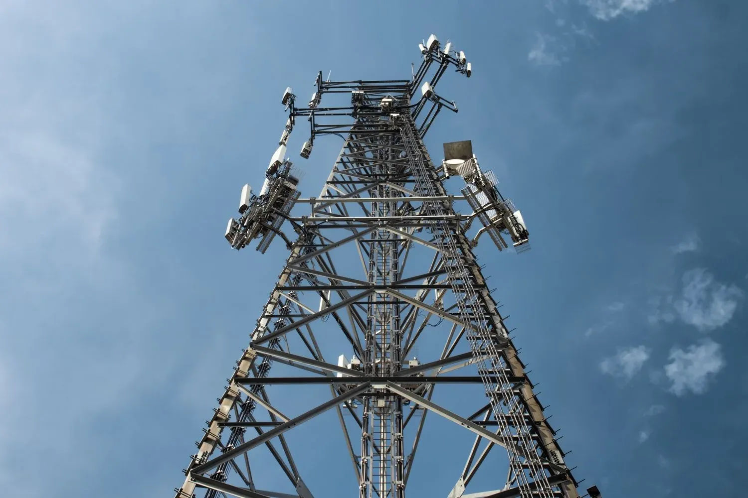
Telecommunication infrastructure
Towers, masts, antenna installations and visible structural elements.
Explore scope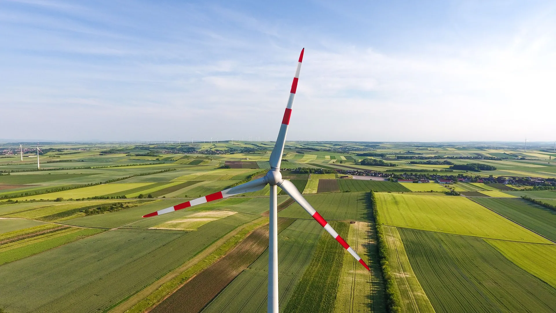
Roofs and industrial halls
Documentation of roof coverings, façades and industrial assets.
Explore scope3D models and digital twins
Terrain and asset models for analysis, planning and comparison.
Explore scopeMapping + 3D
An up-to-date spatial record of terrain and assets.
Photogrammetric capture may provide an orthomosaic, surface model, point cloud or 3D reconstruction. Measurement scope always follows the agreed use.
- terrain and infrastructure
- orthomosaic and geometry
- change comparison over time
Infrastructure + projects
Technical documentation and repeat progress records.
We capture energy and telecom infrastructure, roofs, halls and successive project stages. Material supports assessment of visible condition, archiving and campaign comparison.
- RGB and optical documentation
- visible structural condition
- repeat construction monitoring
Energy
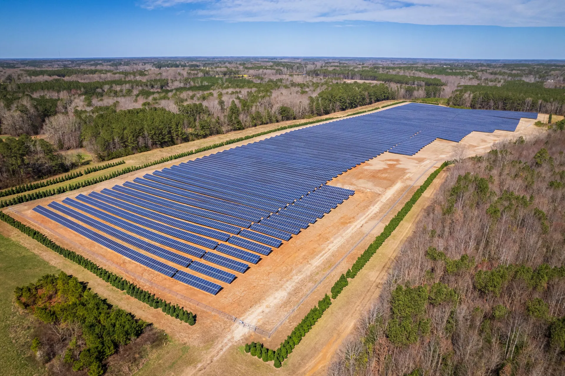
Wind, PV and thermal documentation.
Wind-energy documentation is especially relevant in the region. RGB and thermal PV capture complements it under conditions appropriate to the inspection objective.
- turbines and wind-farm infrastructure
- PV installations and farms
- locations for further verification
Additional regional applications
Technical services complemented by work with land and crops.
The applications below extend the regional offer. They do not replace core business, construction, infrastructure and energy services.
Land and field applications
Documentation of land use, roads, ditches, trees and visible terrain features.
Zobacz specjalistyczny zakres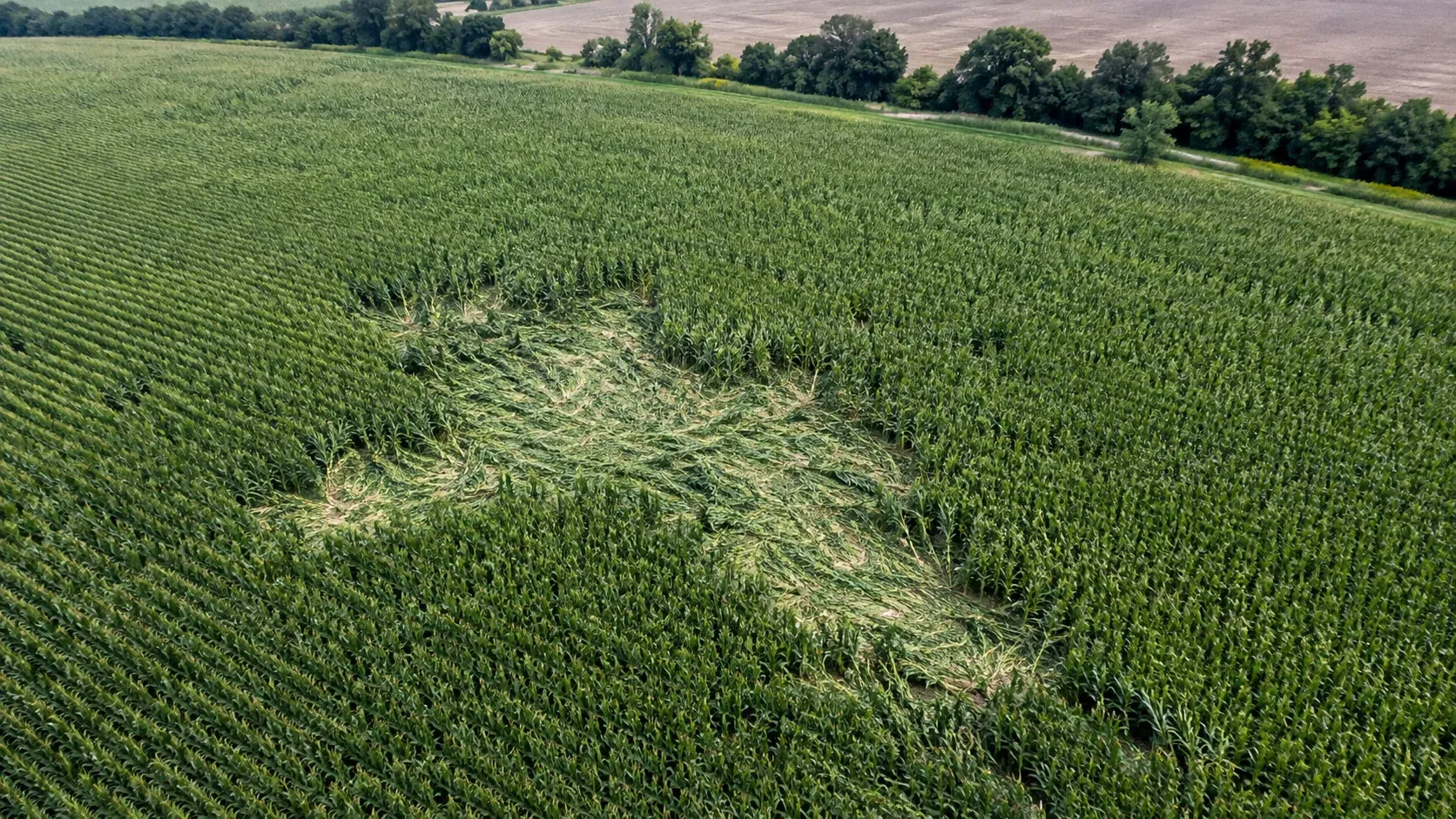
Wildlife crop-damage documentation
Orthomosaic, outline and measurement of visible damage as evidence for further assessment.
Zobacz specjalistyczny zakres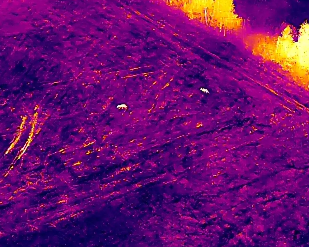
Thermal game search
Locating potential heat signatures and directing the field team to places to check.
Zobacz specjalistyczny zakresDeliverables
Outputs tailored to the task.
- organised photographic documentation
- orthomosaic
- observation locations
- 3D model or point cloud
- campaign comparison
- agreed technical documentation
Project preparation
Initial assessment needs a specific place and objective.
Send the location or outline, terrain or asset type, expected output and date. Field tasks also require access, area and current conditions.
- location or outline
- asset or terrain type
- expected result
- date and access conditions
FAQ
Common questions before work in the region.
Is the full NeoScout technical scope available in the region?
Yes. Depending on conditions and project objectives, we provide mapping, construction monitoring, infrastructure, telecom, PV, turbine, roof and hall inspections, plus 3D documentation.
Can projects be monitored regularly?
Yes. Scope can cover repeat photographic campaigns, orthomosaics, models and comparison of agreed stages.
Does an orthomosaic replace a statutory survey map?
No. Orthomosaics and photogrammetric measurements are prepared for the agreed use and are not presented as statutory survey documentation.
How is crop damage documented?
Scope may include a flight, orthomosaic, visible damage outline, area measurement and organised material for further assessment.
What information is needed for a game search?
We need the place and time last seen, travel direction, terrain access and a contact for the cooperating field team.
Contact
Describe the terrain, asset or technical task.
We select the capture method and output format from the location and expected result.