
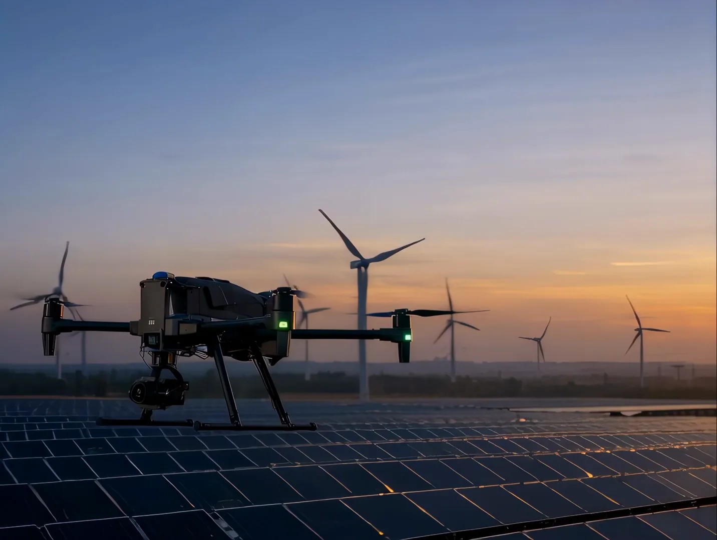
Drone services · Lidzbark and beyond
Technical drone services — inspections, measurement and mapping
We provide technical inspection, thermography, photogrammetry and 3D mapping for infrastructure, energy, property, agriculture and vineyards. We deliver structured data, measurements and documentation ready for further analysis.
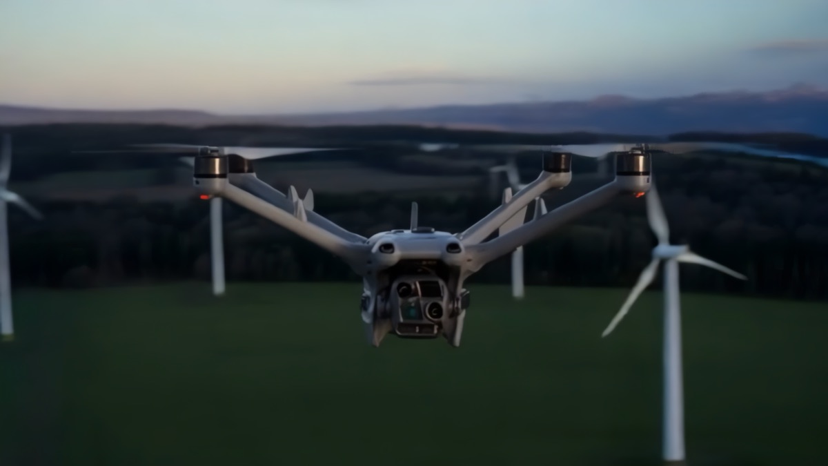
NeoScout / aerial data
Aerial data supports technical and operational decisions.
We combine RGB capture, thermography and spatial measurement. The result is anomaly locations, orthomosaics, 3D models or a structured technical report.
Specialist drone services
Choose the service around the asset and objective.
The service scope defines the subject of capture, measurement method and final deliverable format.
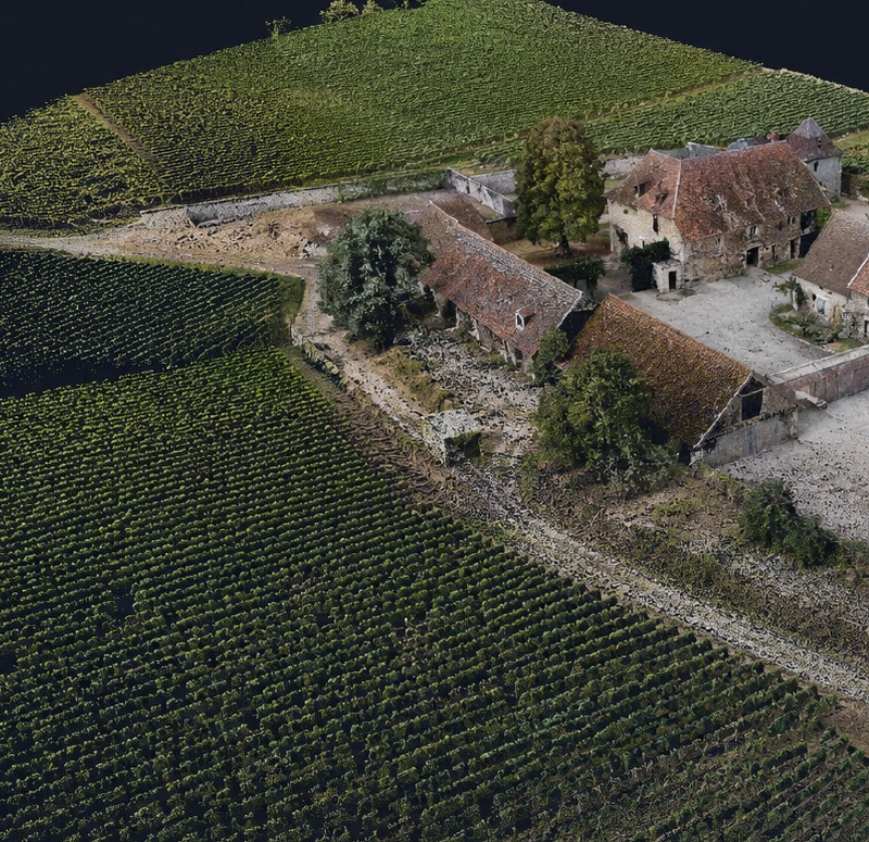
Vineyard Intelligence
Vineyard mapping and digital documentation
3D models, orthomosaics, row geometry, terrain analysis and repeatable parcel documentation.
Comparable spatial documentation across campaigns.View Vineyard Intelligence →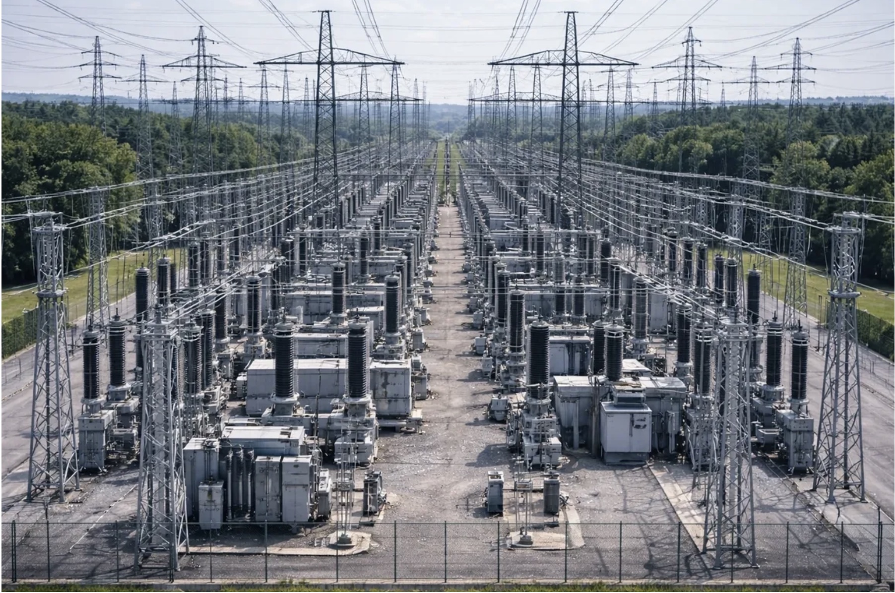
Infrastructure inspections
Energy, telecommunications and hard-to-access technical assets.
Organised visual material and an agreed report.View scope →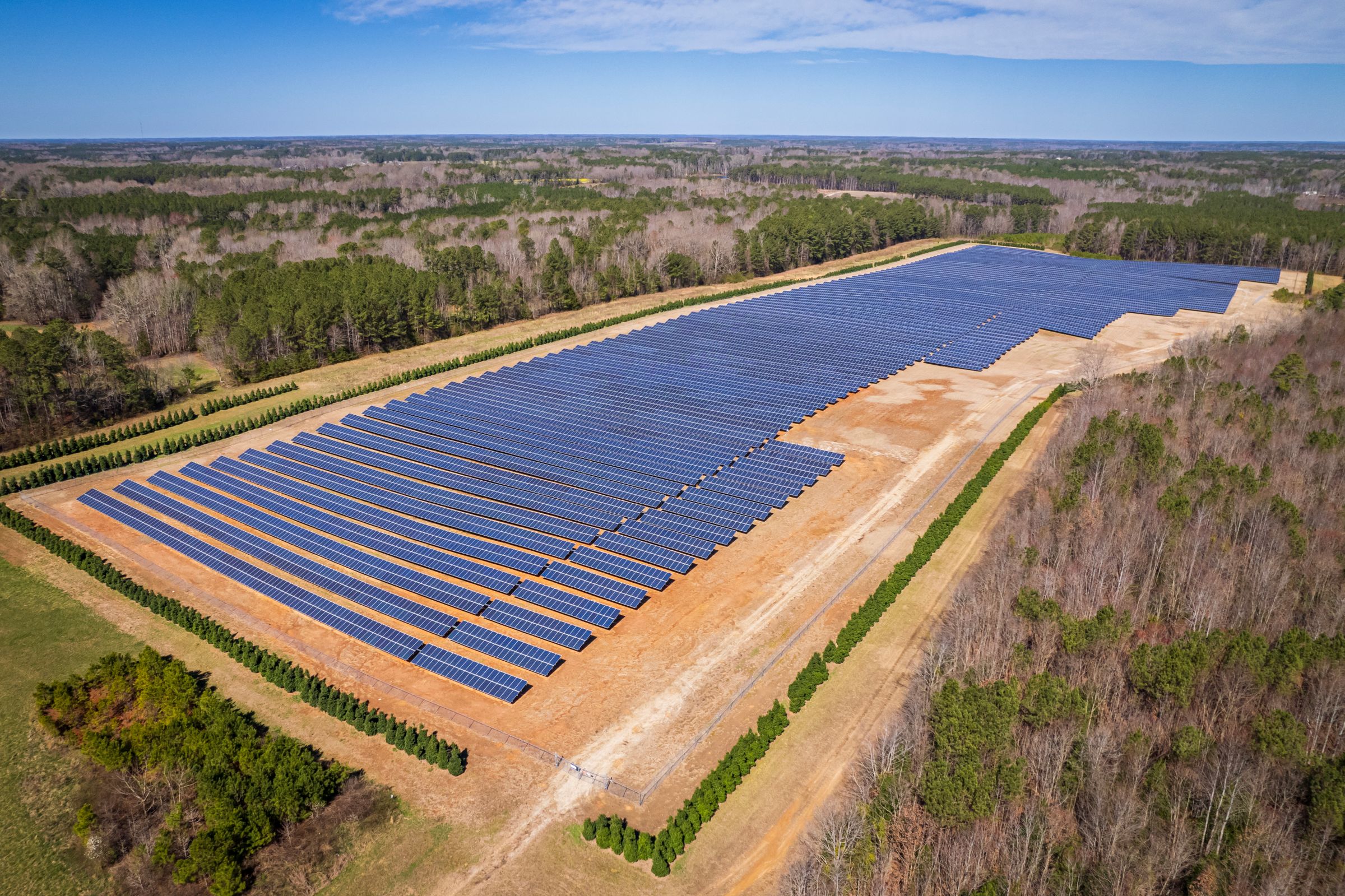
Thermography
We capture PV installations, buildings and agreed infrastructure elements in infrared.
Thermal imagery identifying areas for verification.View scope →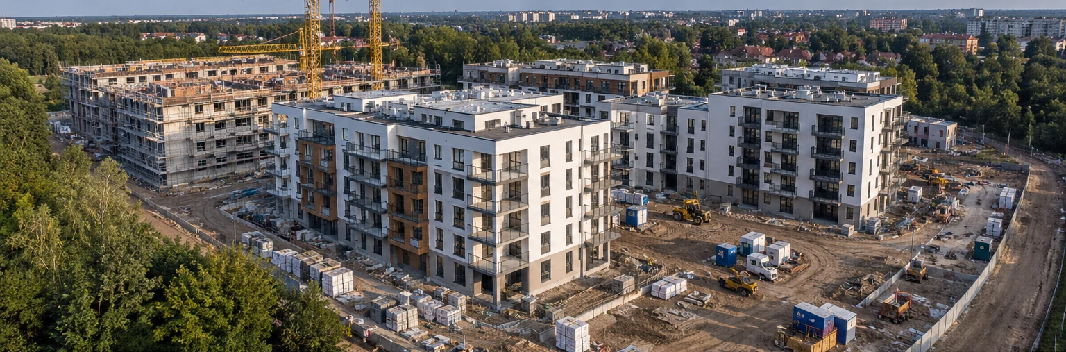
Construction progress monitoring
Repeat aerial surveys document site progress and make successive construction stages easier to compare.
Imagery, an orthomosaic, 3D model or agreed progress report.View scope →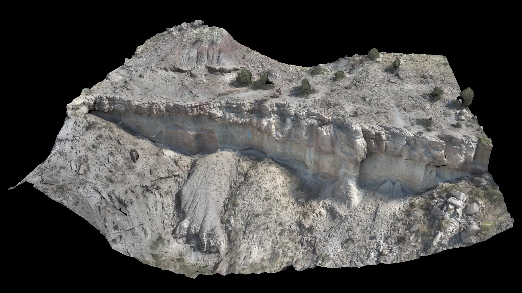
Photogrammetry & mapping
We map land and assets and prepare georeferenced data.
Orthophoto, terrain model, 3D reconstruction or GIS/CAD data.View scope →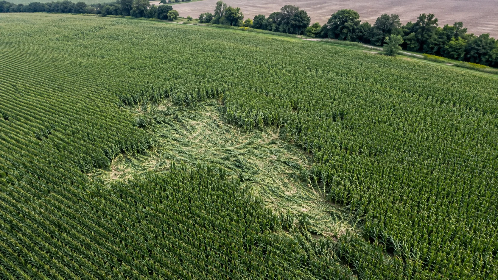
Wildlife crop damage
We outline visible crop damage from aerial imagery and an orthomosaic.
Map, area measurement and photographic record.View scope →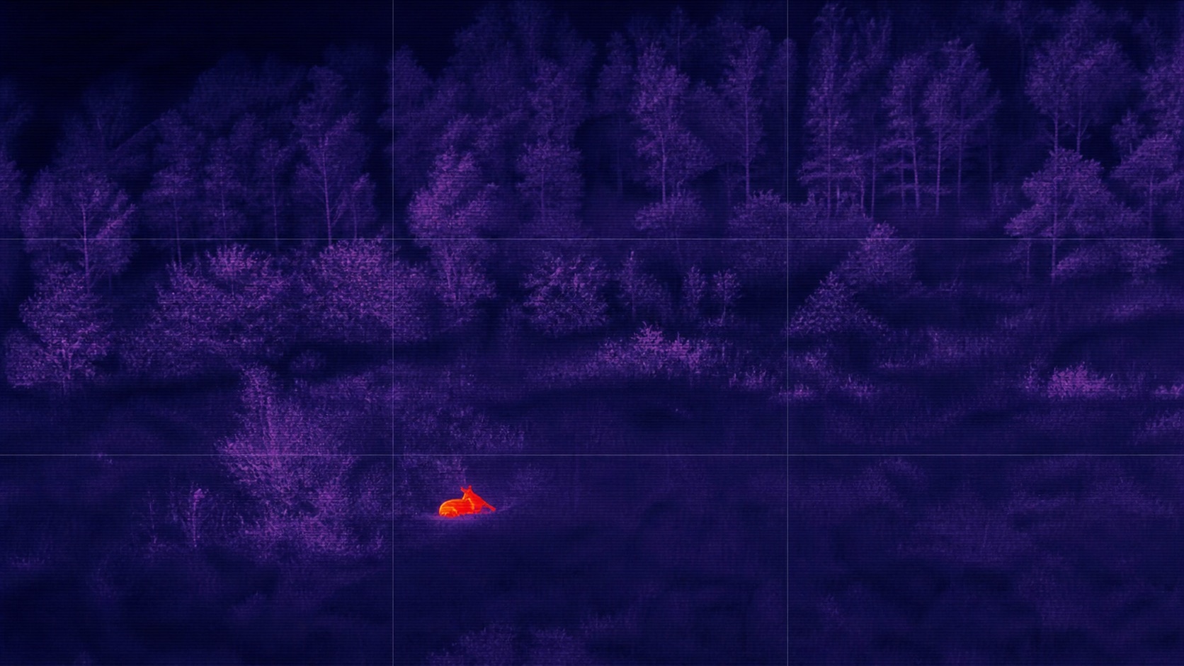
Game recovery search
We conduct systematic thermal search with the ground team.
Locations of potential heat signatures for field checking.View scope →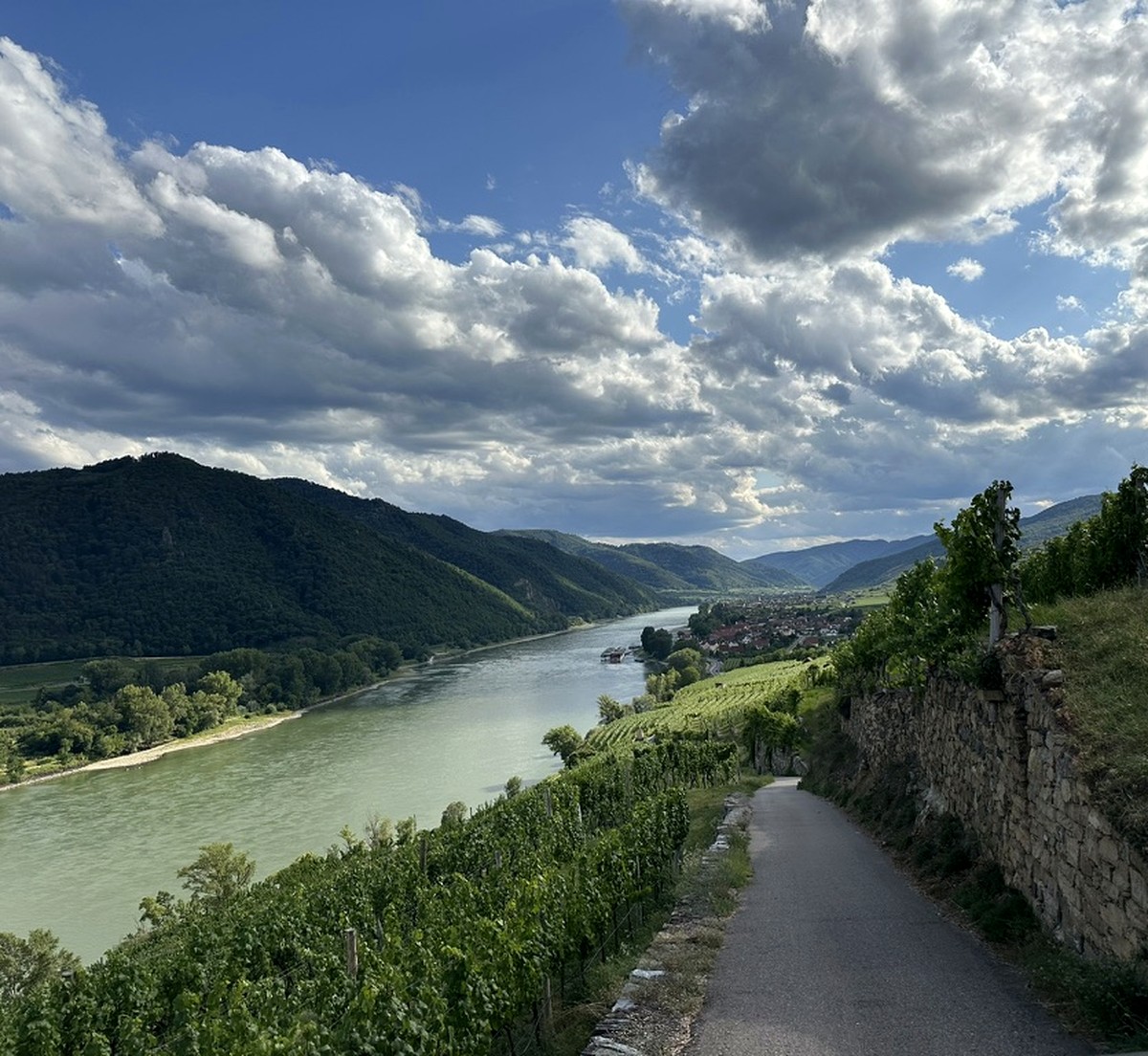
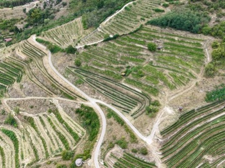
Vineyard Intelligence
Vineyard mapping and digital documentation
3D models, orthomosaics, row geometry, terrain analysis and repeatable parcel documentation.
- Parcel 3D model
- Orthomosaic and terrain
- Agreed measurements
Deliverables
Material you can review, measure and share.
The exact output set, formats and level of detail are agreed for each project.
- Orthomosaic
- 3D reconstruction
- DSM / DTM terrain model
- Measurements
- GIS / CAD data
- Thermal documentation
- Technical report
- Change documentation
Selected work
Real reconstructions, without invented outcomes.
Four anonymous Burgundy reconstructions show the scope of photogrammetric documentation of vineyard parcels and terrain.
Start a project
Asset and objective first. Method second.
Describe the site, asset or parcel and the question the deliverable should answer. We will define an appropriate scope.