
Thermal search
Wounded game search with a thermal drone
Aerial thermal imaging supports a systematic search of a large area and highlights locations that need to be checked on the ground.
Discuss a search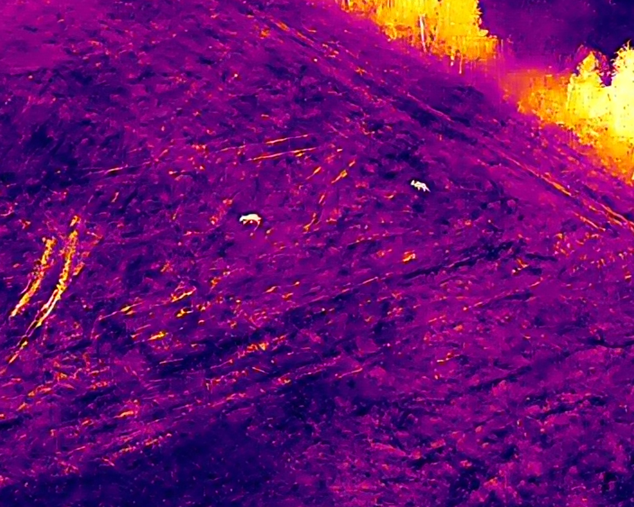
Thermal imagery in practice
From wide-area search to verification.
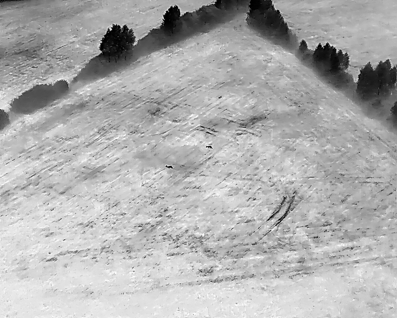
Detection
A systematic flight covers a large area and identifies heat signatures that need further assessment.
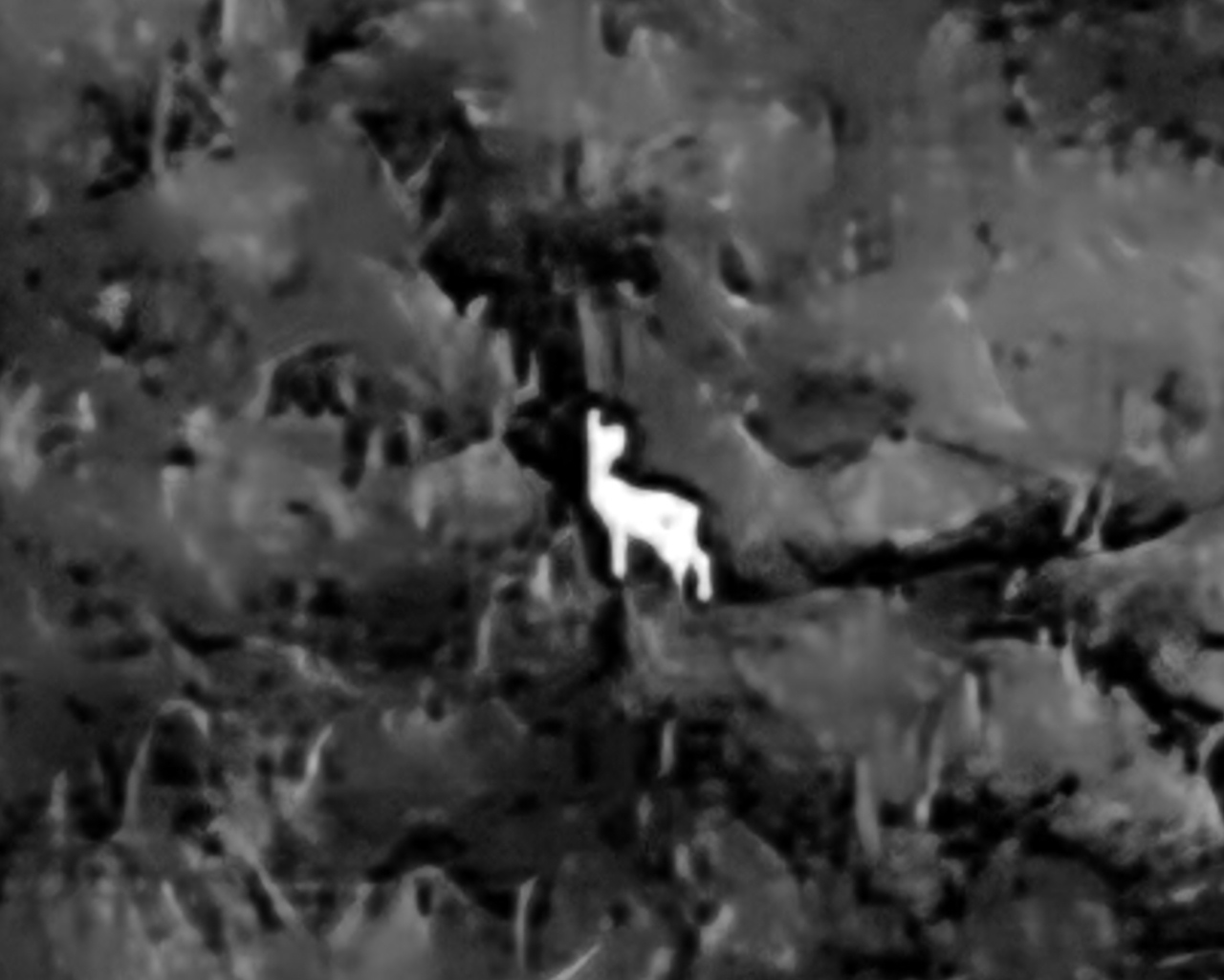
Verification
After a signal is detected, we narrow the area and assess the imagery before passing the location on for a ground check.
Field method
From the search area to ground verification.
- 01
Last known position
We establish the starting point, time and relevant terrain context.
- 02
Search area
We define sectors and a systematic way to check them.
- 03
Thermal flight
We capture thermal imagery according to the agreed plan.
- 04
Signal detection
We flag heat signatures that require further assessment.
- 05
Image verification
We narrow the area and assess the image before passing on a location.
- 06
Ground check
We share the location with those responsible for the ground operation.
Every detected heat signature requires verification. Aerial imagery helps narrow the search area and directs the ground team to locations that need checking.
Visibility depends on temperature, vegetation, terrain and time since the event. Recovery cannot be guaranteed. Search is coordinated with the people responsible for field operations.