
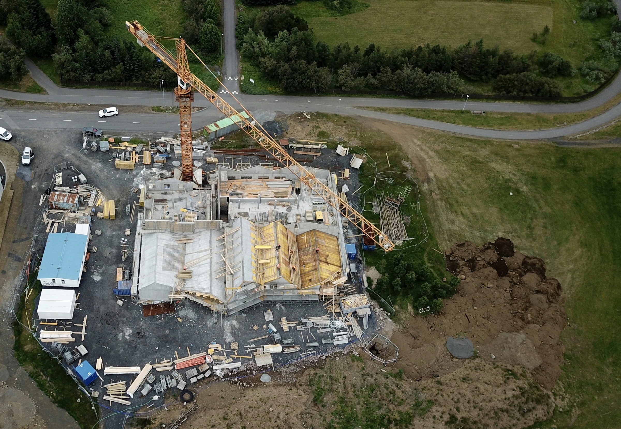
Construction monitoring / progress documentation
Construction progress from the air.
Repeat aerial surveys create a structured record of construction progress — from photography to orthomosaics, 3D reconstruction and agreed site measurements.
Repeat survey
The same project. Successive stages.
A repeatable capture method makes successive stages easier to compare and builds a structured project archive. Each survey records the current state without overwriting earlier work.
- Survey 01Initial state
- Survey 02Work in progress
- Survey 03Next stage
- Survey 04Current state
The same project. Successive stages. Comparable material.
Project data
Material for each stage of the project.
We scope the outputs around the project objective. Depending on the site and agreed capture method, deliverables can include:
- 01
Photo / video documentation
A regular aerial overview of the current state of the project.
- 02
Orthomosaic
A georeferenced image of the site for reviewing the current layout of land and structures.
- 03
3D reconstruction
A spatial model of the project prepared to the agreed scope.
- 04
Site measurements
Areas, distances and — where data quality and scope allow — volumes of excavations, fill and stockpiles.
- 05
Survey history
Successive campaigns retained as separate points in time rather than replacing previous records.
- 06
Report / archive
Organised material for communication among the client, contractor and technical team.
Sample output
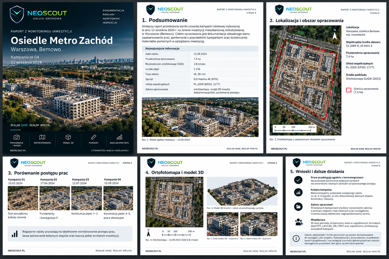
A possible campaign report format.
This Polish-language sample shows how scope, site location, successive stages, an orthomosaic, a 3D model and findings can be presented in one report.
Applications
Documentation that follows the project.
For investors, developers, general contractors, project managers and industrial or technical teams. We document earthworks, warehouses and industrial buildings, residential developments and — where operationally appropriate — linear infrastructure. The record supports communication before, during and after construction.
Measurement scope and output accuracy are agreed for the project objective. Photogrammetric documentation does not replace licensed surveying or statutory construction supervision where these are required.
Project types
Progress across different scales.
A consistent reference helps document residential, road and industrial projects across successive construction stages.
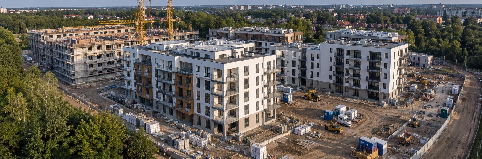
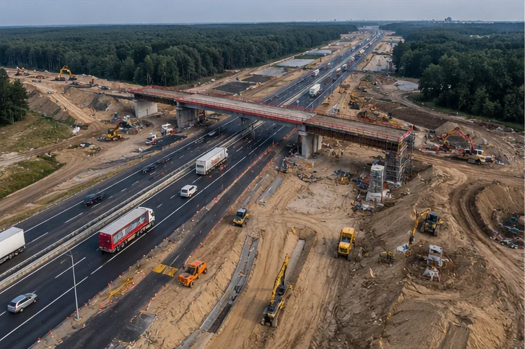
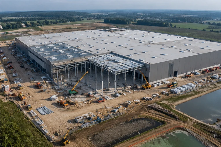
Illustrative imagery supplied as examples of applications. These are not presented as verified NeoScout projects.
Process
One method, repeatable campaigns.
- 01
Scope
We agree the site area, survey frequency and expected outputs.
- 02
Plan
We establish a repeatable capture method suited to the construction site.
- 03
Survey
We record the current state of the project within the agreed scope.
- 04
Processing
We prepare the agreed imagery, orthomosaic, model or measurements.
- 05
Archive
Each campaign remains a separate, dated record of the project stage.
Continuity of record
A cadence that follows construction.
One-off, weekly, fortnightly, monthly or tied to project milestones. We agree the scope and schedule with your project team.
Plan your monitoring scheduleWe cover Warsaw and Mazovia, including Mława, as well as Działdowo, Nidzica, Iława, Ostróda, Brodnica and Rypin. Larger projects can be delivered across Poland.