
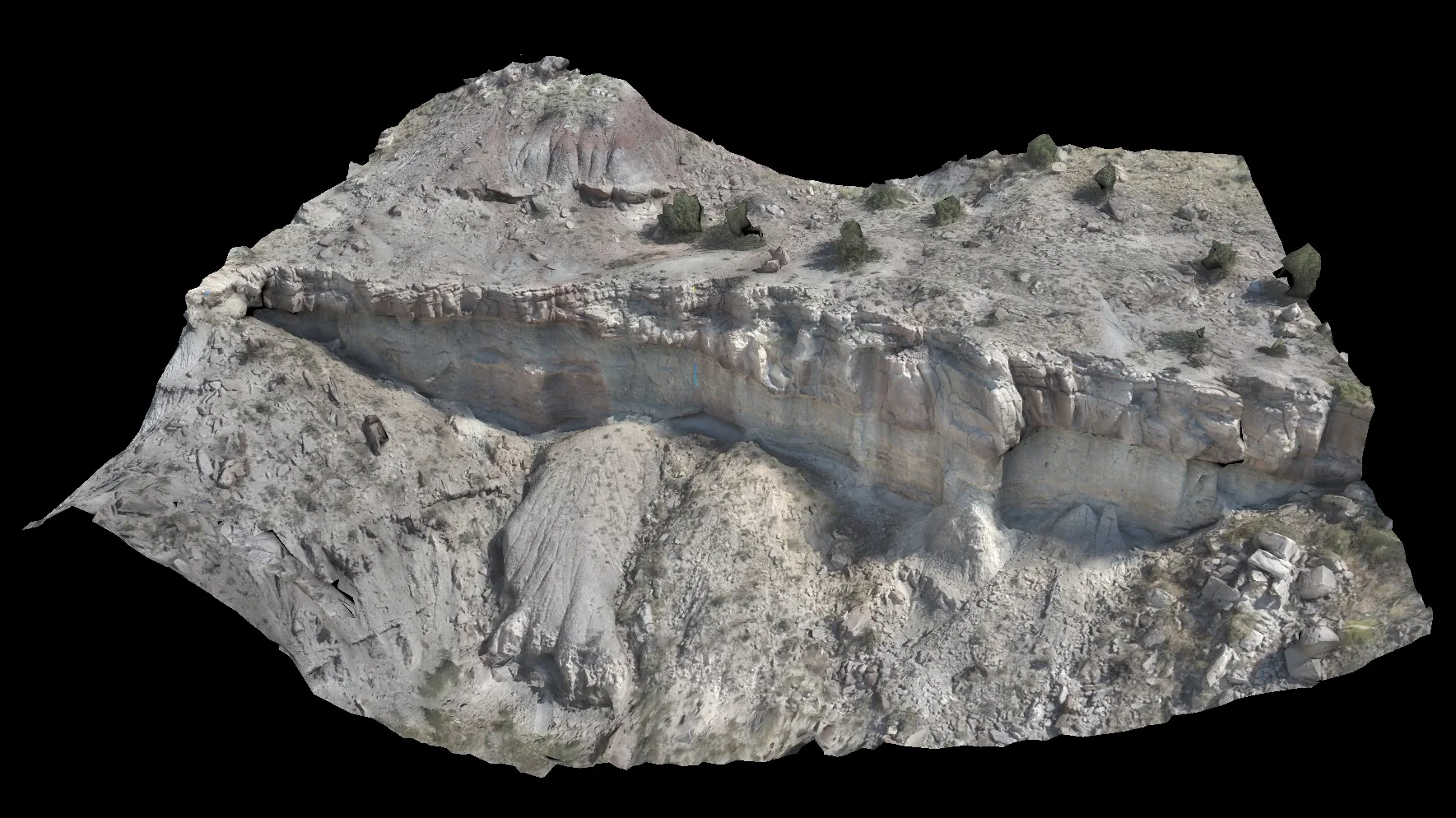
Photogrammetry and spatial data
Drone photogrammetry, orthomosaics and mapping
Photogrammetry, orthophotos, terrain models and measurements scoped around the intended use.
01
Scope
- land and asset capture
- geometry and measurements
- data for spatial analysis
02
Process
- 01survey planning
- 02overlapping image capture
- 03reconstruction and quality control
03
Deliverables
- orthophoto
- surface or asset model
- point cloud and measurements
Client value
One spatial reference
A current spatial record supports measurement, planning and change documentation.
Contact NeoScout