Warsaw and Mazovia
Technical drone services in Warsaw and Mazovia
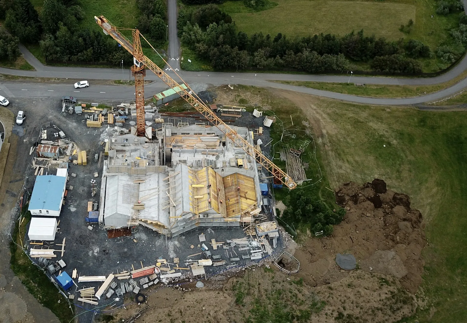
We support investors, contractors, managers and infrastructure operators with progress documentation, inspection of hard-to-access elements and organised spatial data. Capture scope and output format follow the decision the documentation should support.
Regional scope
Data for teams responsible for assets and projects.
We provide one-off and repeat surveys for investors, developers, contractors, engineering teams, asset managers and infrastructure, industry and energy operators. Every commission starts by defining the material needed for further work.
- investors and general contractors
- design and engineering teams
- facility and asset management
- infrastructure, telecom and renewable-energy operators
Technical services
Full technical scope, tailored to the project objective.
Regional availability complements the specialist pages. Choose a scope below to explore its method and deliverables.
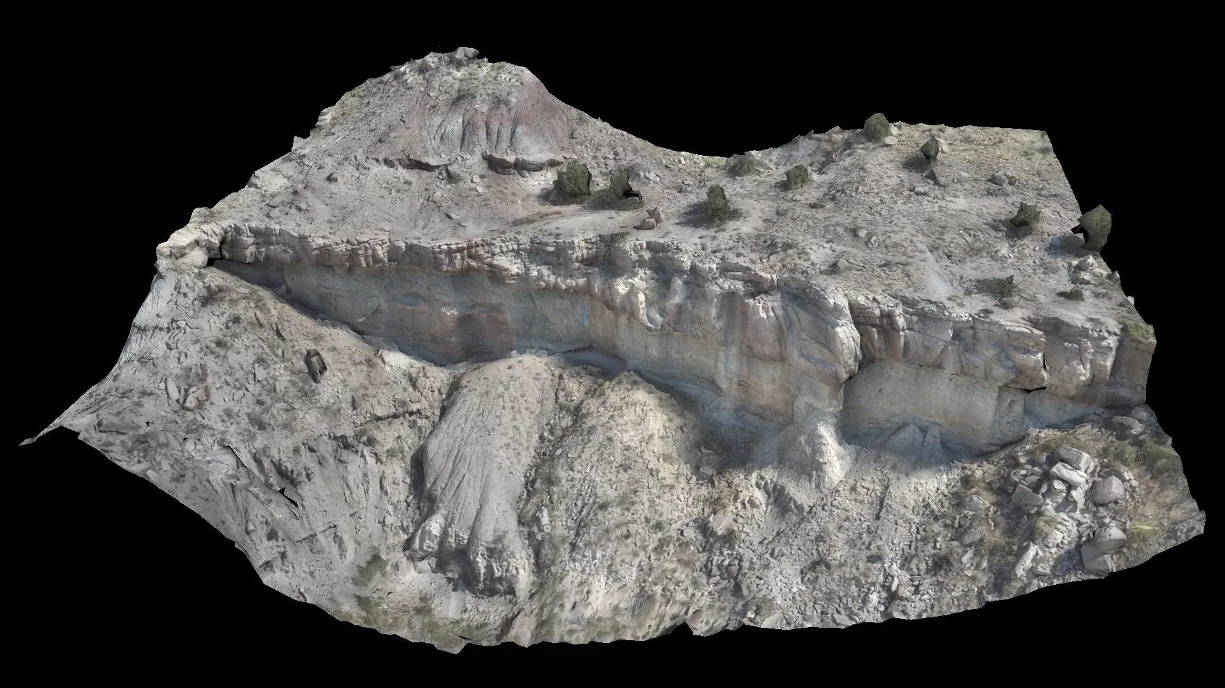
Photogrammetry and mapping
Orthomosaics, surface models and an organised spatial record.
Explore scope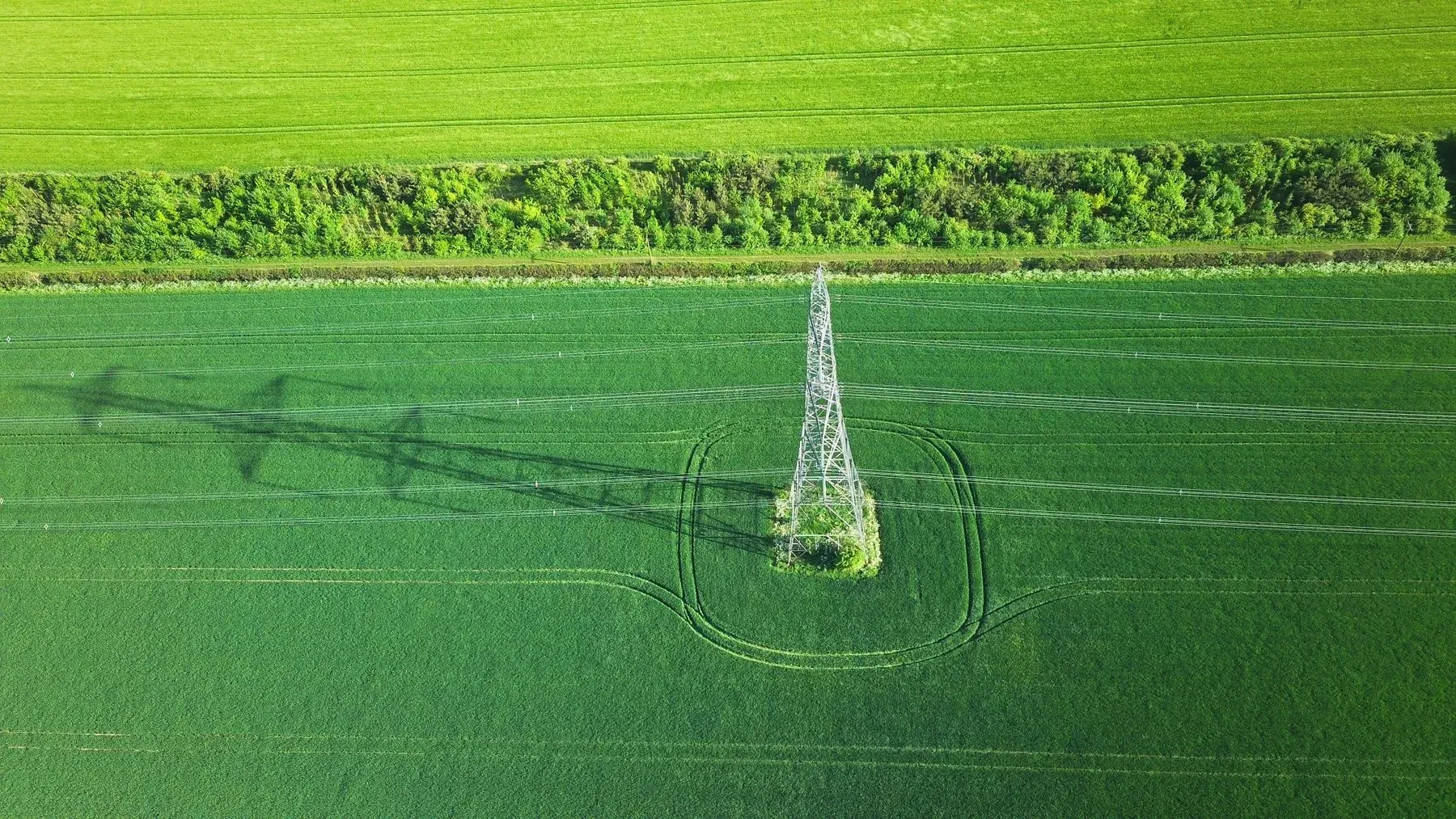
Technical infrastructure
Documentation of hard-to-access elements and visible asset condition.
Explore scope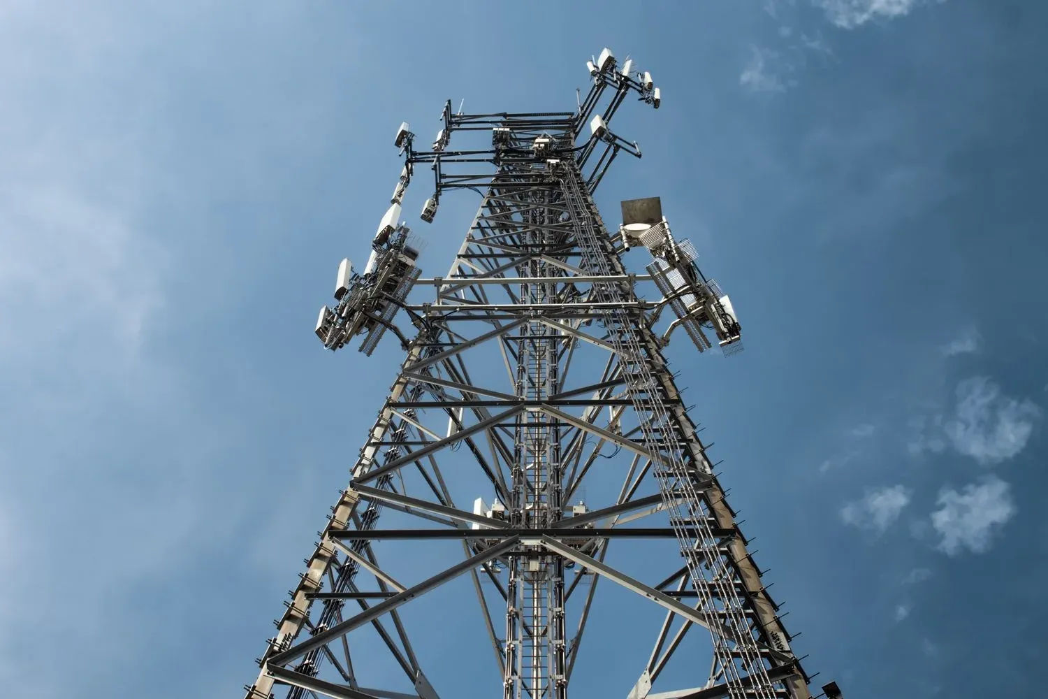
Telecommunication infrastructure
Towers, masts, antenna installations, mounts and visible cable routes.
Explore scope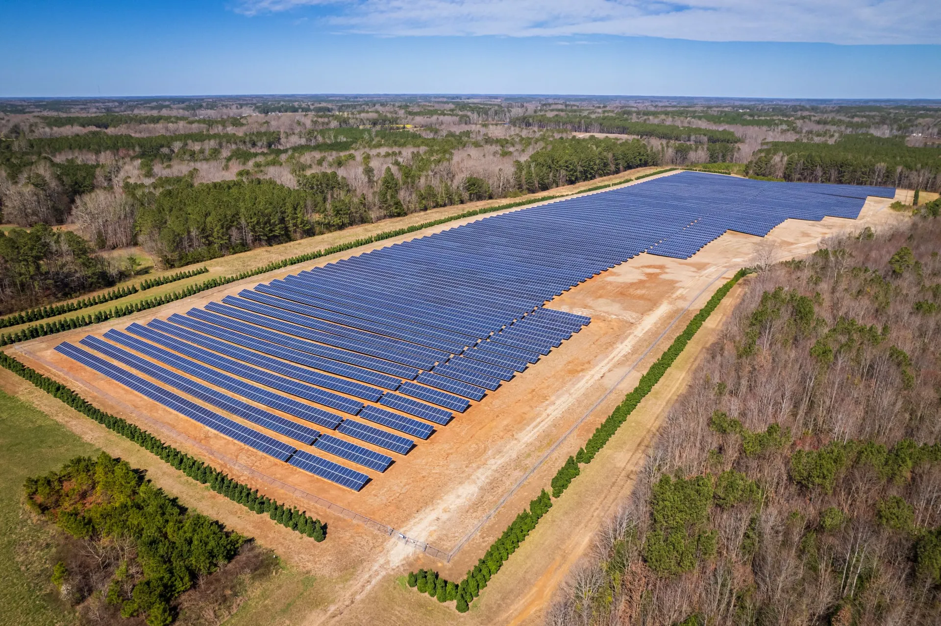
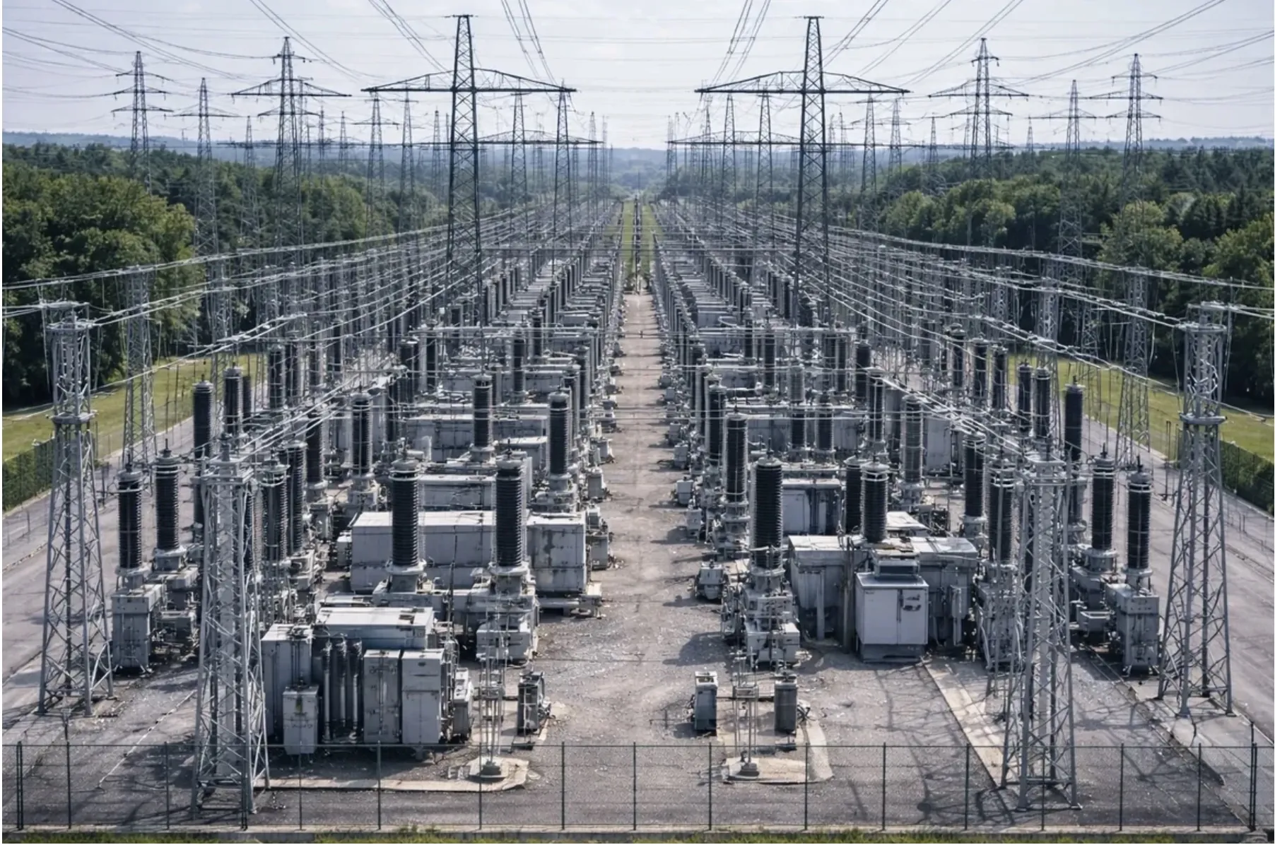
Roofs and industrial halls
Documentation of roof coverings, façades and industrial building elements.
Explore scope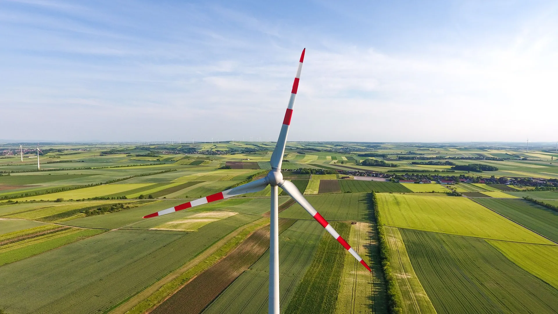
3D models and digital twins
Photogrammetric asset or terrain models for analysis and change comparison.
Explore scope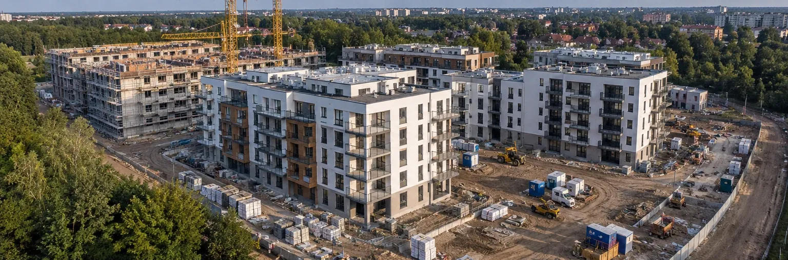
Monitoring + spatial data
A comparable project record, beyond a single striking photograph.
Repeat capture organises successive work stages. Photogrammetry adds an orthomosaic, 3D model or agreed measurements to the photographic record.
- consistent reference points
- campaign comparison
- material for the project team
Technical infrastructure
Documentation of elements that are difficult to access routinely.
RGB and optical capture can cover structures, antennas, mounts, cables, roofs and façades. Visible damage or corrosion is flagged for the appropriate technical team to assess.
- visible structural condition
- antennas, mounts and cables
- 3D model where technically justified
Energy
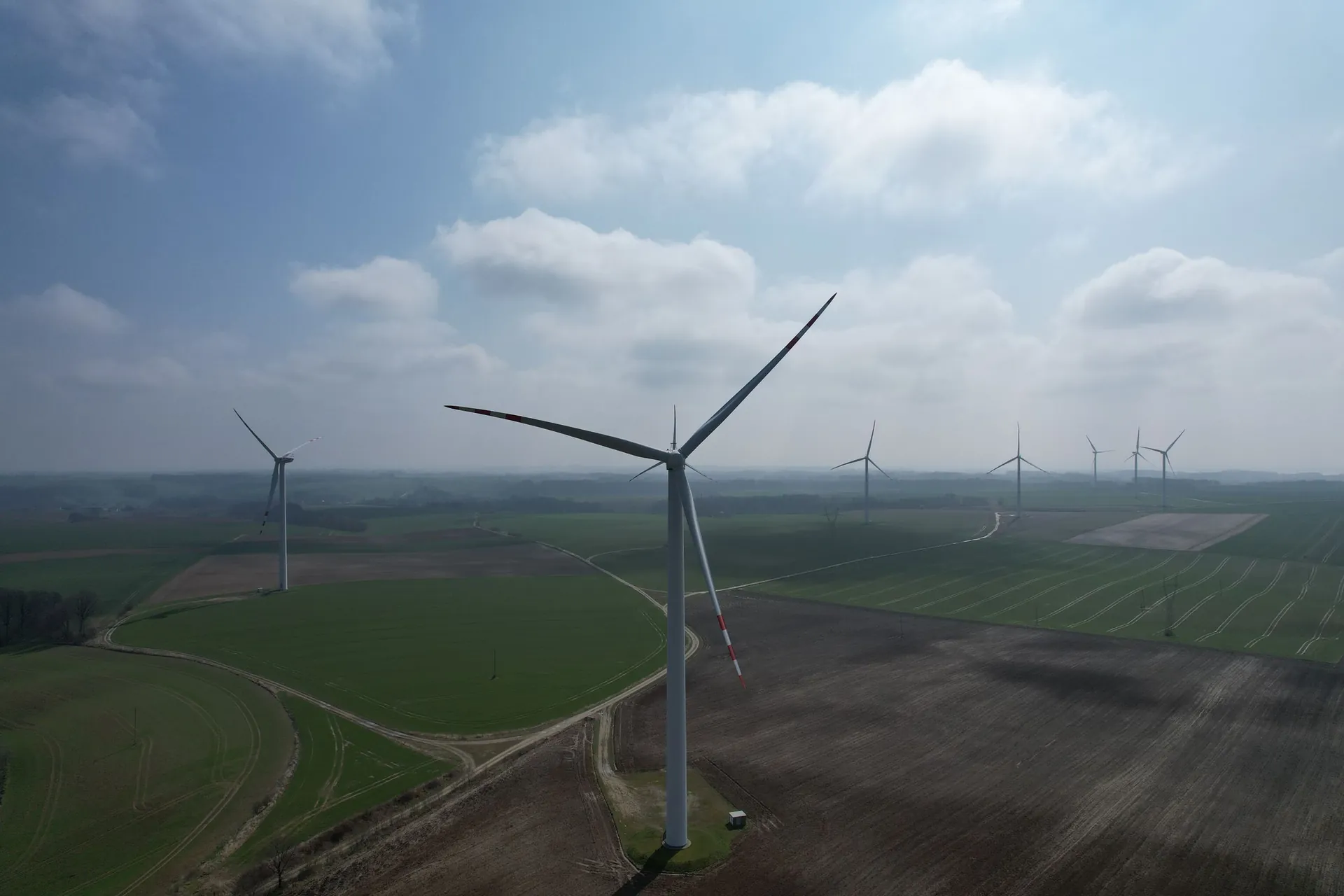
PV and wind-energy inspections.
For PV we combine RGB and thermal capture where scope and conditions justify it. For turbines and wind farms we prepare organised visual documentation of components and associated infrastructure.
- locations of potential PV anomalies
- overview and detail views of turbines
- material for further technical assessment
Deliverables
Material prepared for further work.
- organised photographic documentation
- orthomosaic
- observation locations
- 3D model or point cloud
- comparison of successive campaigns
- agreed technical report
Project preparation
Objective, location and operating conditions first.
An initial assessment needs the location, asset type, expected output and preferred date. Flight feasibility also depends on airspace, access, weather and required agreements.
- asset location and type
- documentation objective
- expected format
- date or campaign frequency
FAQ
Common questions before work in Warsaw.
What information is needed for a quote?
Location, asset type, expected output, approximate scope and preferred date help us assess the method and operating conditions.
Can the same project be monitored regularly?
Yes. Campaign frequency and repeat views are agreed around the programme and project team’s needs.
Does a mast inspection replace RF diagnostics?
No. RGB, optical, thermal or 3D documentation describes visible condition. It does not replace RF measurements, spectrum analysis or electrical antenna measurements.
Can one scope include a roof, façade and PV installation?
It can, if operating conditions and expected results allow coherent capture. Each element still requires a suitable method and conditions.
Does NeoScout perform statutory surveying?
The scope covers photogrammetry, orthomosaics and agreed spatial measurements. Material is not presented as statutory survey documentation unless the project includes the required authorisations and procedures.
Contact
Let’s discuss the asset and result your team needs.
Send the location, asset type and objective. We will propose the capture scope and suitable data format.