
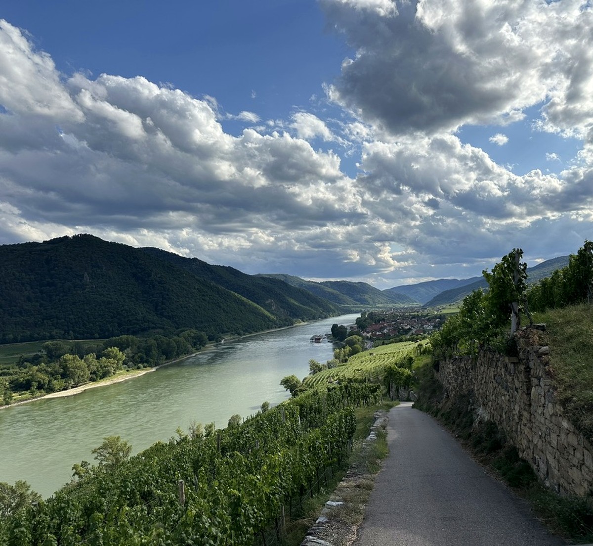
Vineyard Intelligence
Vineyard mapping
Documentation of parcels, vine rows, access routes and infrastructure in one spatial reference.
01
Scope
- parcel and row geometry
- terrain, access and infrastructure
- repeatable spatial documentation
02
Process
- 01capture planning
- 02photogrammetric survey
- 03processing and quality control
03
Deliverables
- orthomosaic
- 3D model
- measurement and location data
Client value
A digital parcel record
A consistent spatial base supports planning, documentation and change comparison over time.
Contact NeoScout